> For the complete documentation index, see [llms.txt](https://academy.carto.com/llms.txt). Markdown versions of documentation pages are available by appending `.md` to page URLs; this page is available as [Markdown](https://academy.carto.com/advanced-spatial-analytics/spatial-analytics-for-redshift/step-by-step-tutorials/creating-spatial-index-tilesets.md).
# Creating spatial index tilesets
We provide a set of examples that showcase how to easily create simple tilesets allowing you to process and visualize very large spatial datasets stored in Redshift. You should use this procedure if you have a dataset that contains a column with a spatial index identifier instead of a geometry and you want to visualize it at an appropriate zoom level.
## Tileset from UK Spatial Features Quadbin dataset
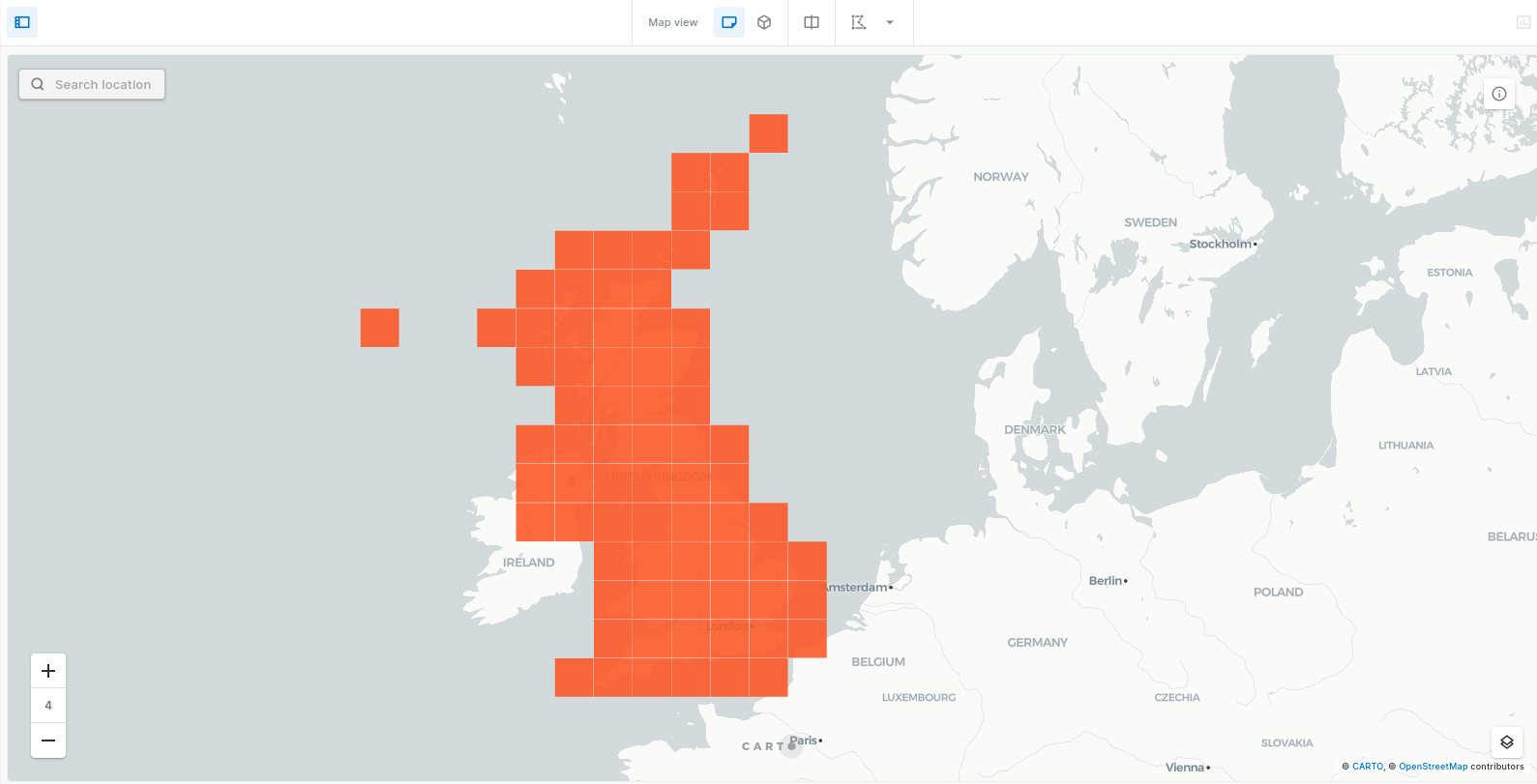
In this example we are creating a tileset with population values from a UK Spatial Features dataset that contains a `geoid` column with Quadbin ids. The dataset if publicly available in the [CARTO Data Observatory](https://gcp-us-east1.app.carto.com/data/observatory/carto/subscriptions.cdb_spatial_fea_1e9882ab).
The dataset is divided in two tables: one with the data and the spatial index ids, and another one with those ids and the corresponding polygon geometries. The procedure that creates the tileset does not require any geometry, and only uses the spatial index ids, so there is no need to use both tables or join them beforehand. Instead, the data table is passed to the procedure as input table.
Population for each cell is stored in a column named `population`. We will use a `sum` function to aggregate population values in the different levels of the tileset. The aggregated values will be stored in a column with that same name.
The query used to produce the tileset is the following:
```sql
CALL carto.CREATE_SPATIAL_INDEX_TILESET(
'demo_tables.sub_carto_derived_spatialfeatures_gbr_quadgrid15_v1_yearly_v2',
'demo_tables.sub_carto_derived_spatialfeatures_gbr_quadgrid15_v1_yearly_v2_tileset',
'
{
"resolution_min": 2,
"resolution_max": 8,
"spatial_index_column": "quadbin:geoid",
"resolution": 15,
"aggregation_resolution": 4,
"properties": {
"population": {
"formula":"sum(population)",
"type":"Number"
}
}
}
'
);
```
## Tileset from UK Spatial Features H3 dataset
A version of the UK Spatial Features dataset that uses H3 instead of Quadbin is also [available](https://gcp-us-east1.app.carto.com/catalog/dataset/cdb_spatial_fea_6b8f8034).
The following query can be used to create a tileset similar to the one described in the example above, but using H3 cells:
```sql
CALL carto.CREATE_SPATIAL_INDEX_TILESET(
'demo_tables.sub_carto_derived_spatialfeatures_gbr_h3res8_v1_yearly_v2',
'demo_tables.sub_carto_derived_spatialfeatures_gbr_h3res8_v1_yearly_v2_tileset',
'
{
"resolution_min": 1,
"resolution_max": 4,
"spatial_index_column": "h3:geoid",
"resolution": 8,
"aggregation_resolution": 4,
"properties": {
"population": {
"formula":"sum(population)",
"type":"Number"
}
}
}
'
);
```
---
# Agent Instructions
This documentation is published with GitBook. GitBook is the documentation platform designed so that both humans and AI agents can read, navigate, and reason over technical content effectively. Learn more at gitbook.com.
## Querying This Documentation
If you need additional information that is not directly available in this page, you can query the documentation by asking a question.
Perform an HTTP GET request on the following URL with the `ask` and `goal` query parameters:
```
GET https://academy.carto.com/advanced-spatial-analytics/spatial-analytics-for-redshift/step-by-step-tutorials/creating-spatial-index-tilesets.md?ask=&goal=
```
`ask` is the immediate question: it should be specific, self-contained, and written in natural language.
`goal` is what the user is ultimately trying to achieve, the reason they need the answer. Sharing it helps GitBook give you a better, more relevant answer. A goal is most helpful when it describes the outcome the user wants rather than restating the question. For example, with `ask=how do I create an API token`, a goal like `automate deployments from our CI pipeline` lets GitBook tailor the answer to that use case.
The response will contain a direct answer to the question and relevant excerpts and sources from the documentation.
Use this mechanism when the answer is not explicitly present in the current page, you need clarification or additional context, or you want to retrieve related documentation sections.