Spatial Analytics for BigQuery
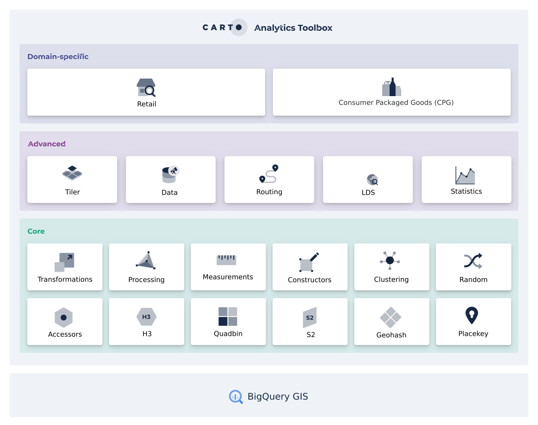
CARTO's Analytics Toolbox for BigQuery is a set of UDFs and Stored Procedures to unlock Spatial Analytics. It is organized in a set of modules based on the functionality they offer. Visit the SQL Reference to see the full list of available modules and functions. In order to get access to the Analytics Toolbox functionality in your BigQuery please read about the different access methods in our documentation.

Last updated
Was this helpful?

