Step-by-step tutorials
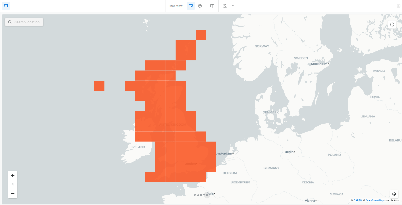
In this section we provide a set of examples that showcase how to leverage the functions of our Analytics Toolbox for Redshift to unlock advanced spatial analyses in your data warehouse platform. They cover a broad range of use cases with methods for data transformations, enrichment, spatial indexing in Quadkey and H3, statistics, clustering, spatial data science methods and more.

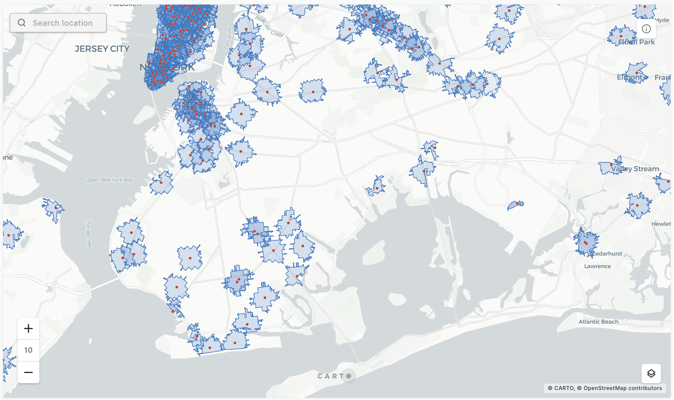
We generate trade areas based on drive/walk-time isolines from Redshift console and from CARTO Builder.

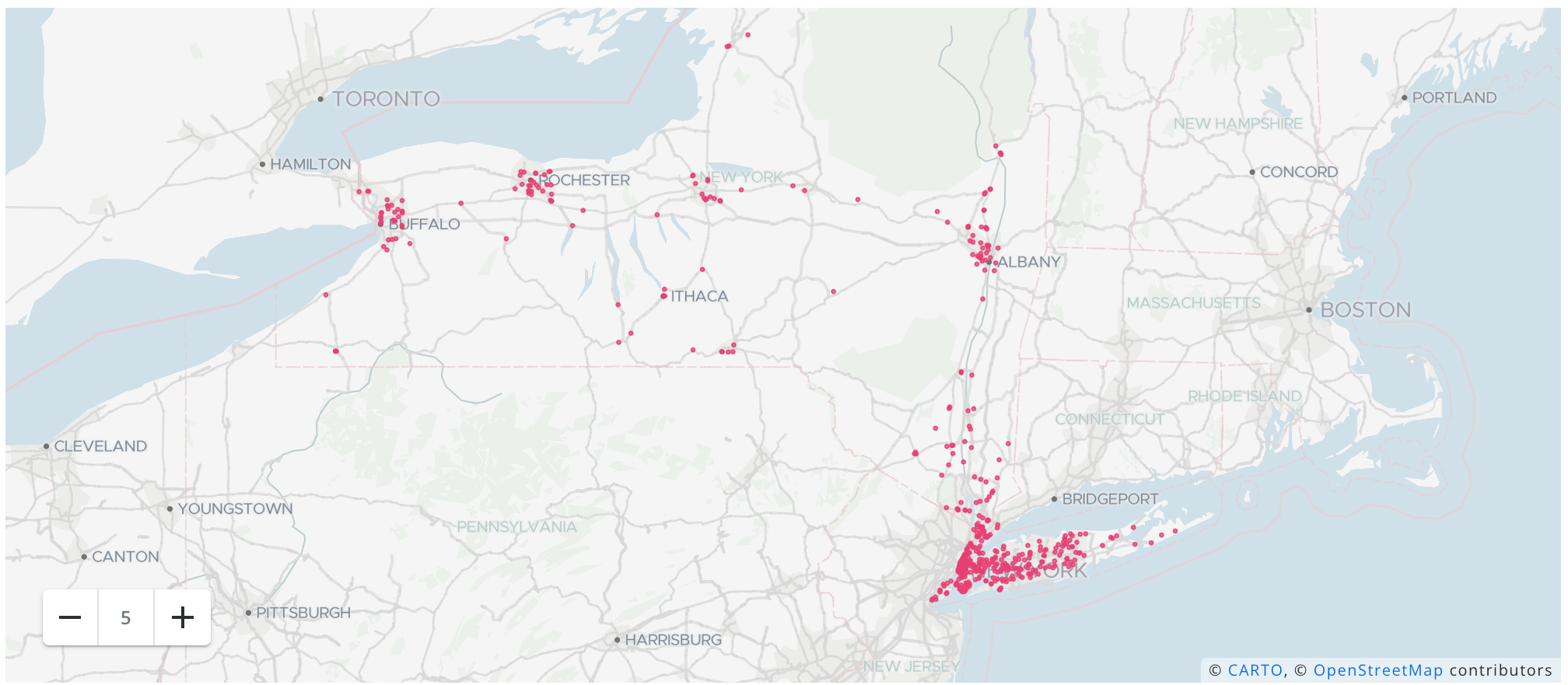
We provide an example that showcase how to easily geocode your address data using the Analytics Toolbox LDS module from the Redshift console and from the CARTO Workspace.
 This project has received funding from the European Union’s Horizon 2020 research and innovation programme under grant agreement No 960401.
Last updated
Was this helpful?


