Generating new spatial data
Last updated
Last updated
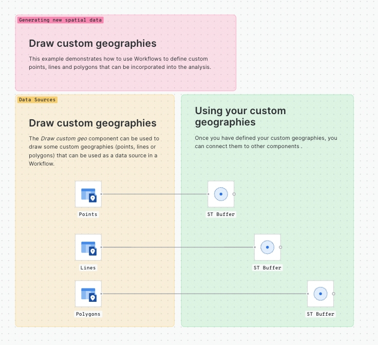
This example demonstrates how to use Workflows to define custom points, lines and polygons that can be incorporated into the analysis.
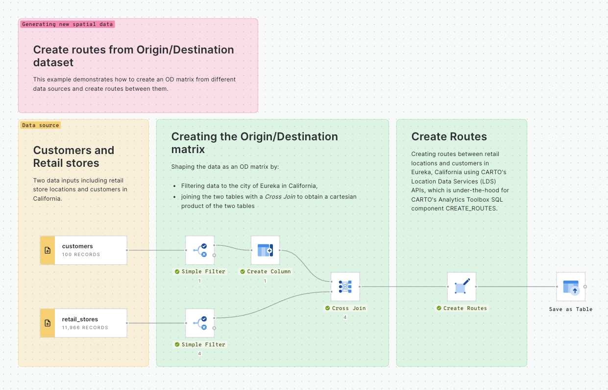
This example demonstrates how to create an OD matrix from different data sources and create routes between them.
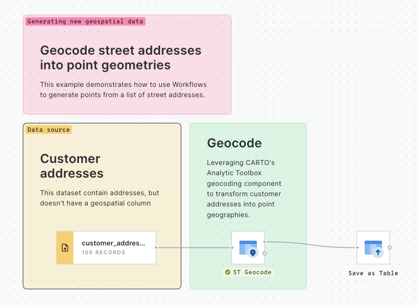
This example demonstrates how to use Workflows to generate points from a list of street addresses.
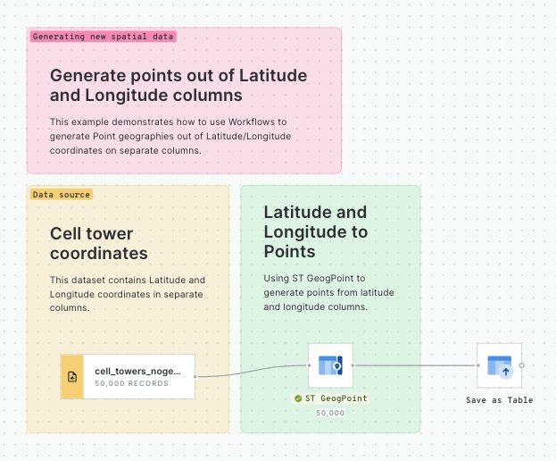
This example demonstrates how to use Workflows to generate point geographies out of Latitude/Longitude coordinates on separate columns.
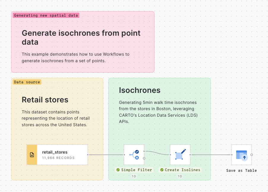
This example demonstrates how to use Workflows to generate isochrones from a set of points.
